
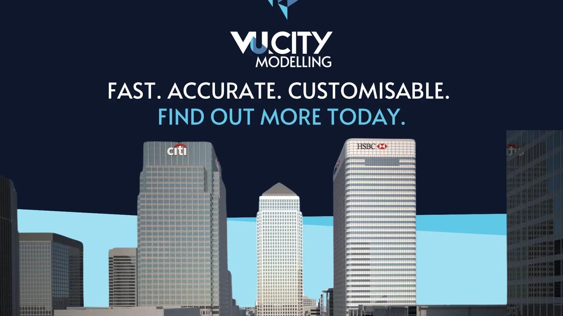
3D Modelling Solutions

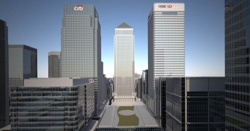
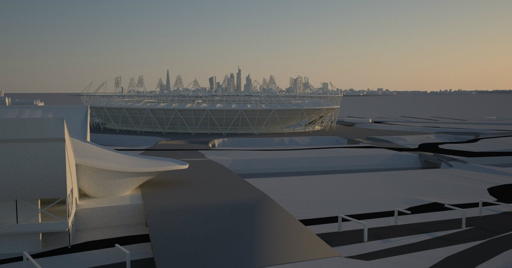
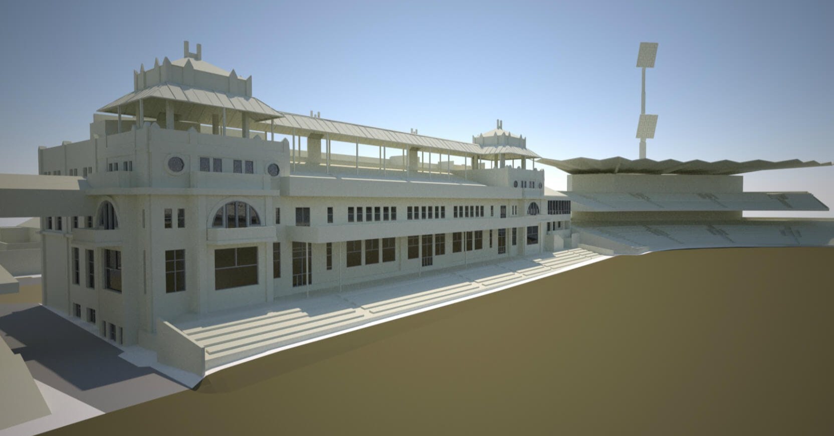
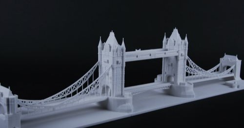
Covers over 3000 sq km at LOD3 across the UK and internationally. We model cities to 15 cm accuracy from the most recent and up-to-date coverage.
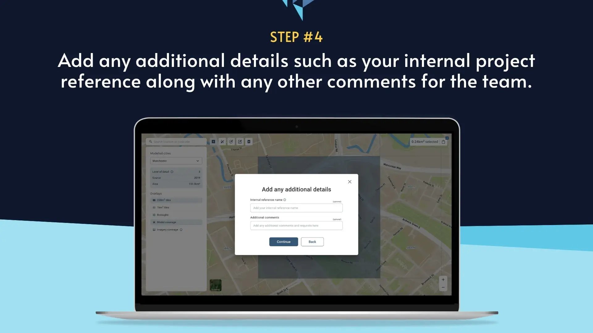
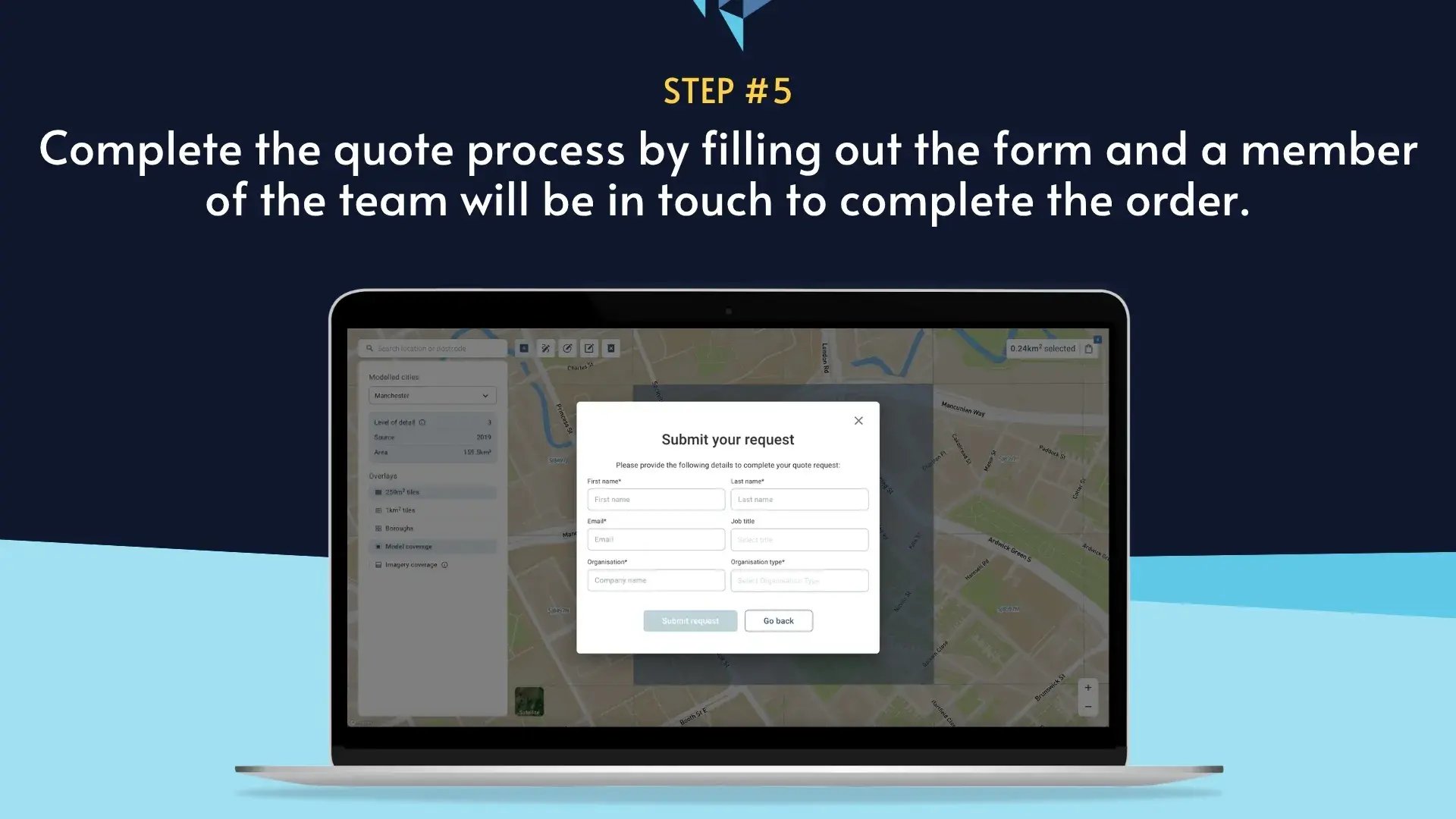
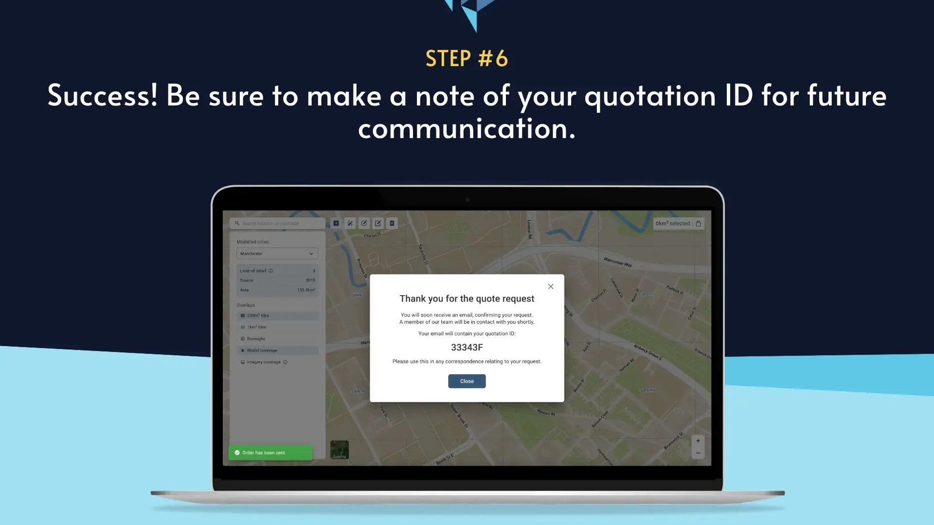
Need an area that’s not yet covered? We’ll provide a tailored quote within 24 hours and deliver new models quickly, helping you keep projects on schedule.
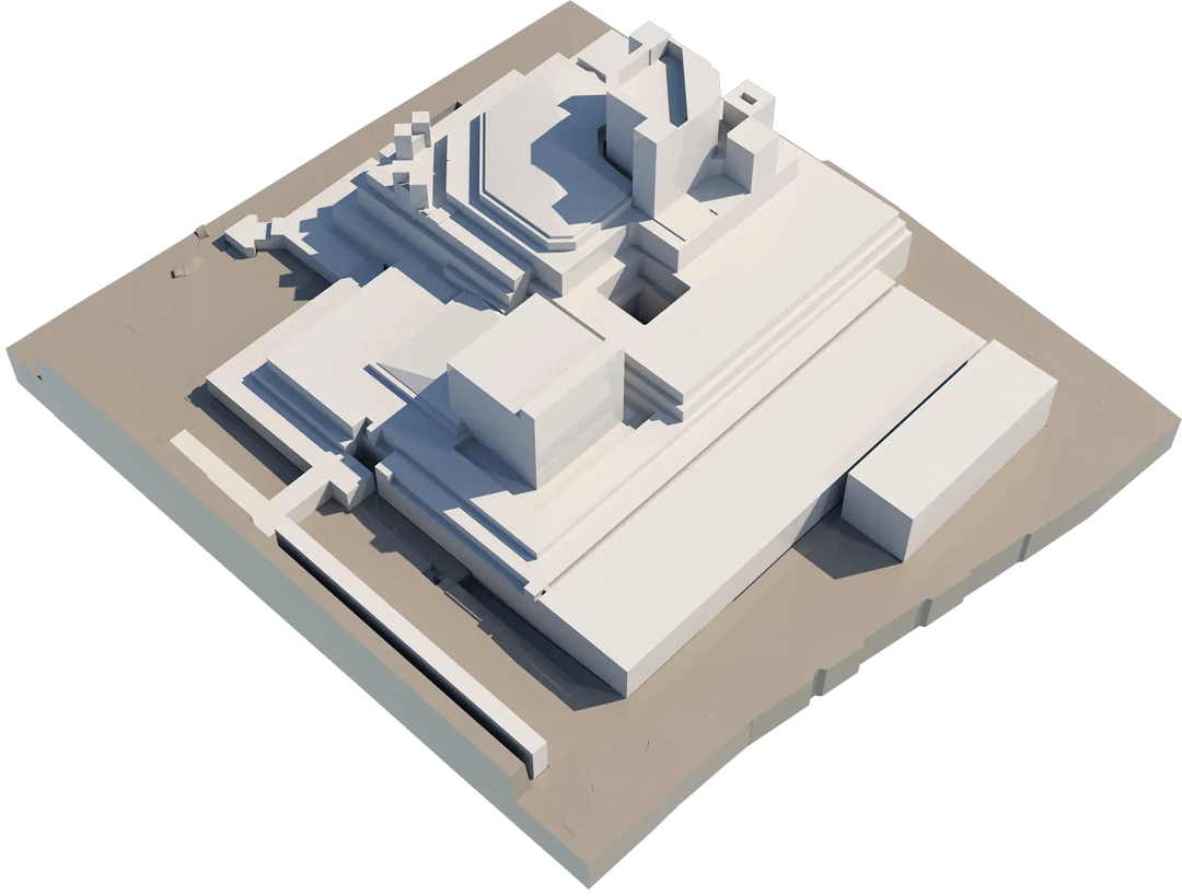
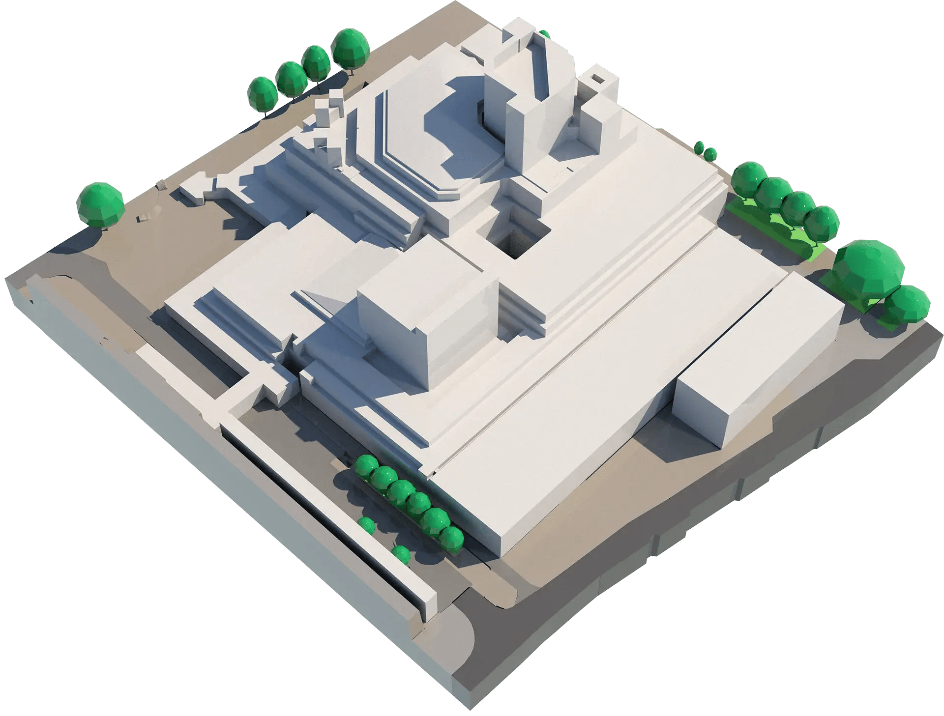
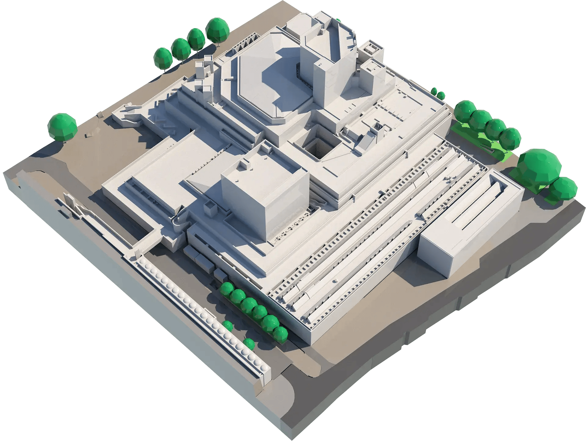
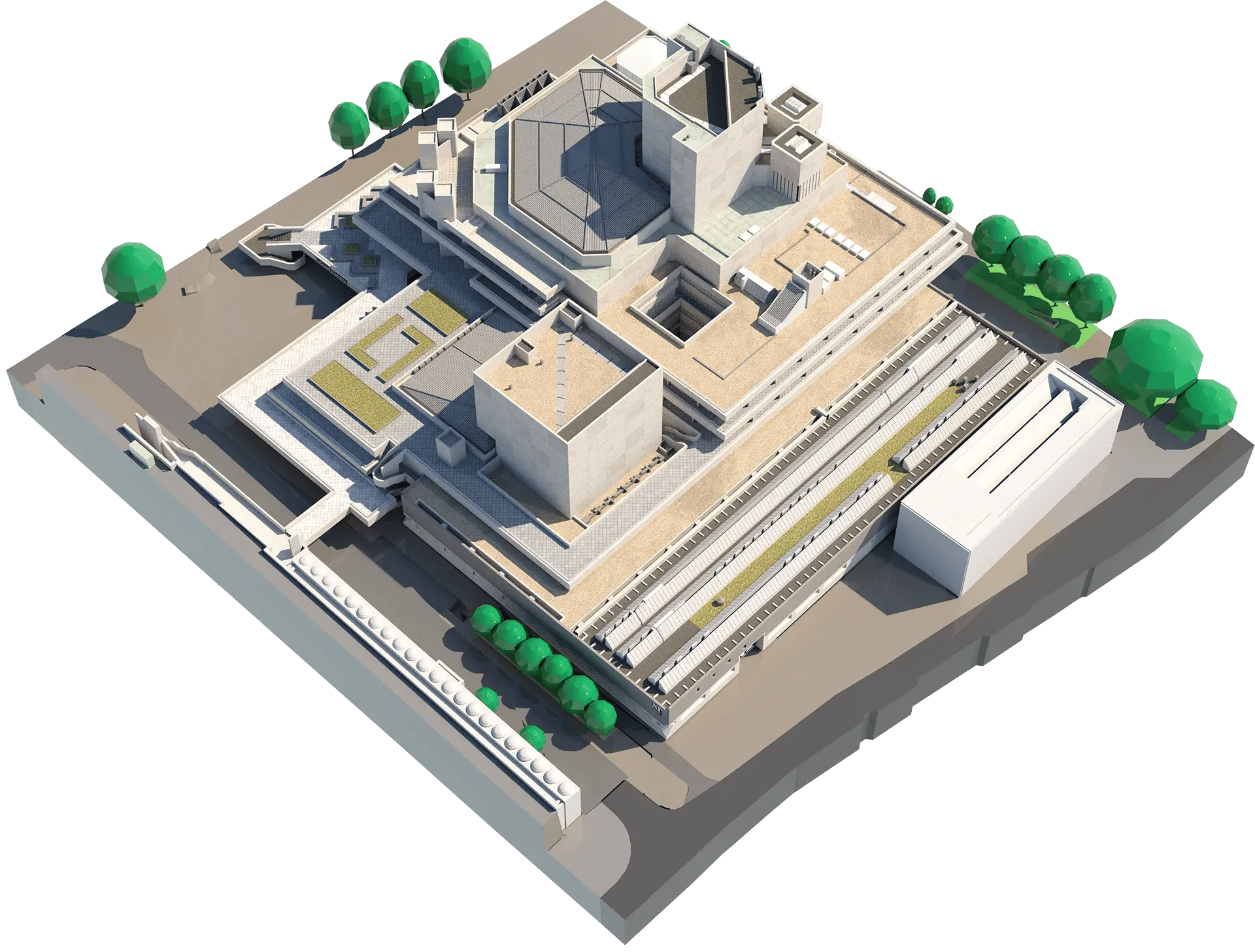
Choose the right model for your needs — from LOD1 for rapid concept work to LOD4 for highly realistic, presentation-ready visuals.
Enjoy discounted pricing, priority service, and models delivered in as little as two working days when you hold a VU.CITY licence.
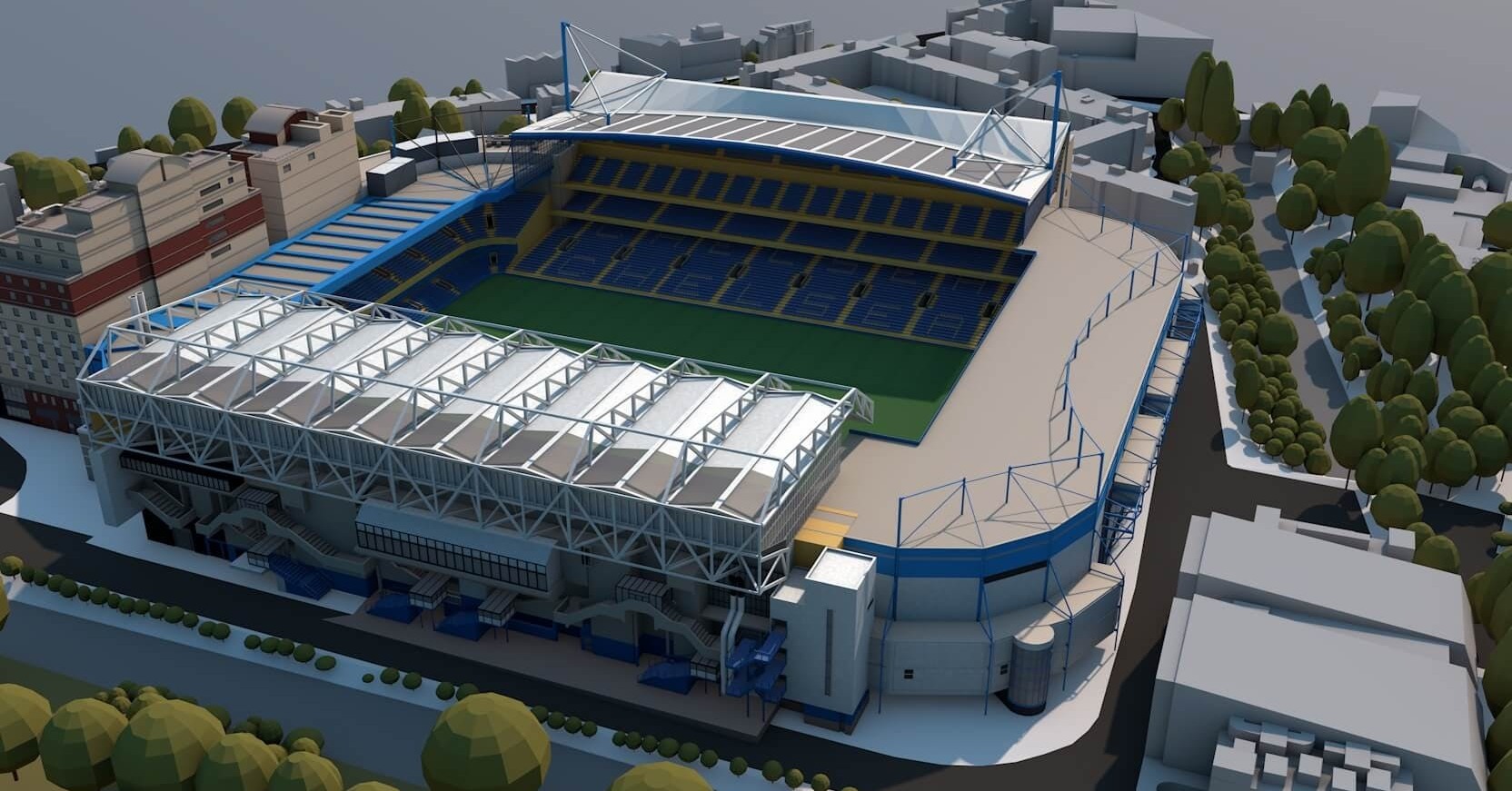
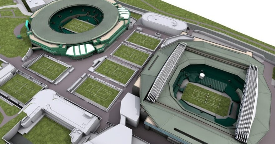
3D Model Levels of Detail (LOD)
Whether you need a basic city 3D model or one with an intricate level of detail, we have you covered.
For more information on VU.CITY’s 3D model solutions, check out these ebooks
.png?width=215&height=200&name=modelling-ebook-cover-01%20(4).png)

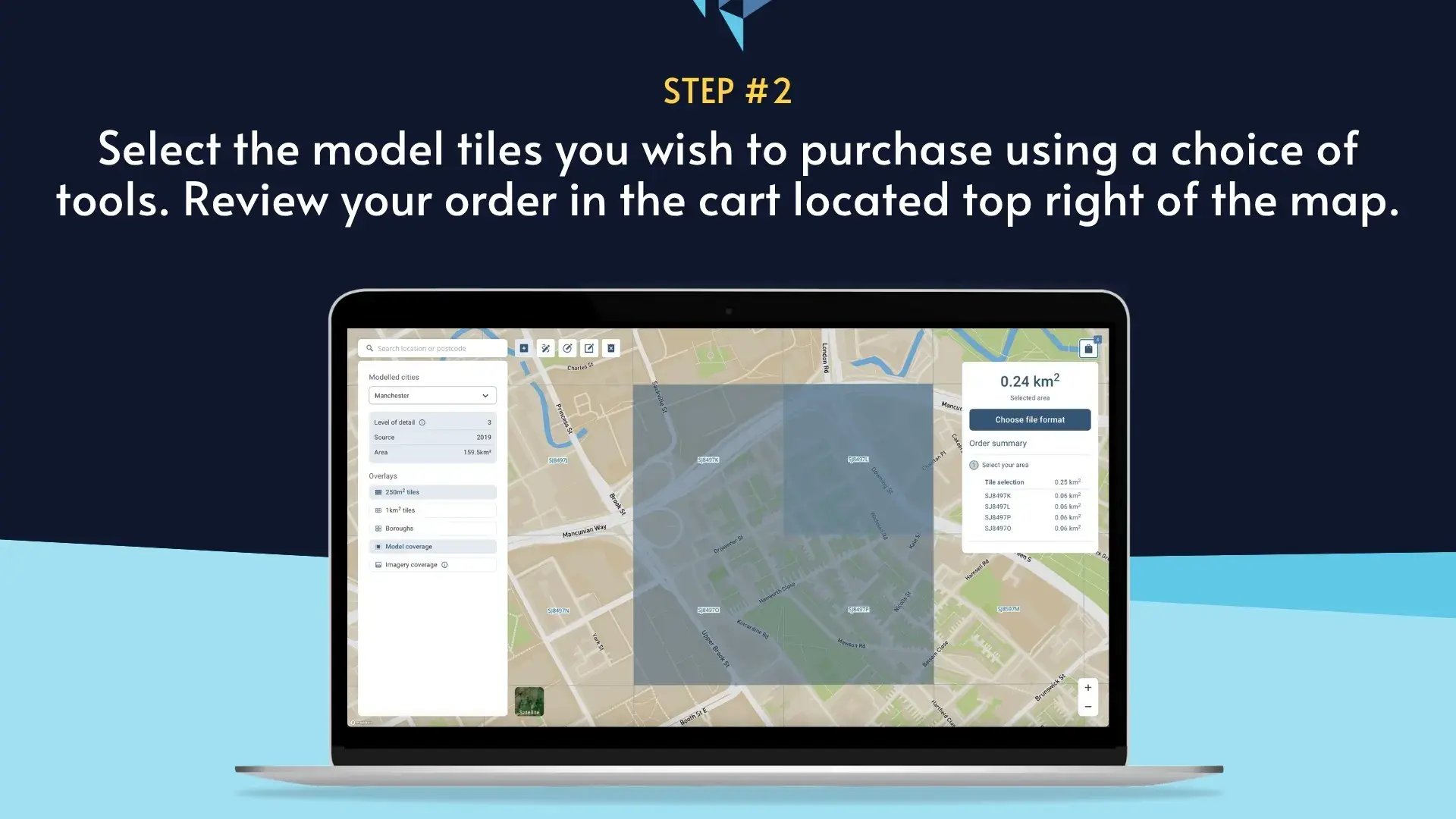
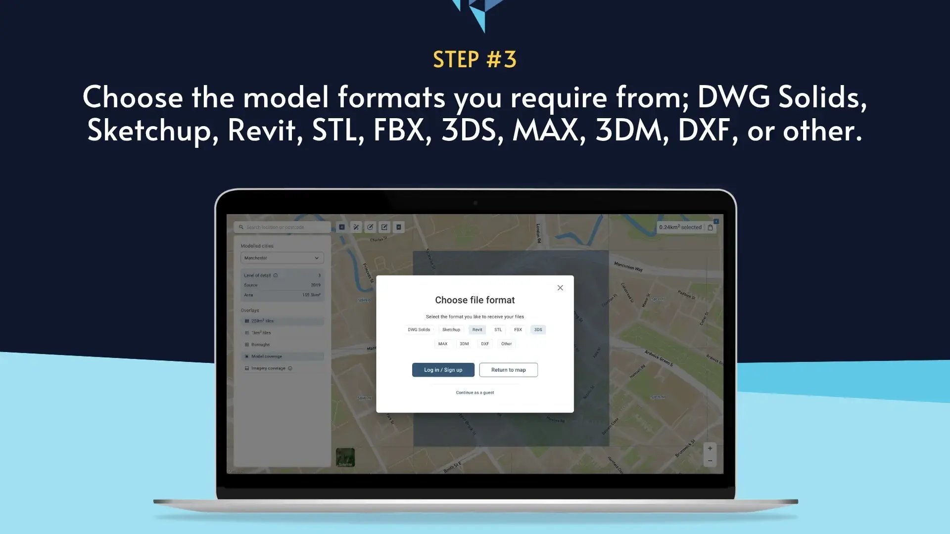
How to buy VU.CITY 3D Model Geometry
Whether you need it for planning, feasibility, Right of Light, wind, visuals, or even 3D printing, we’ve got the format, flexibility and speed.
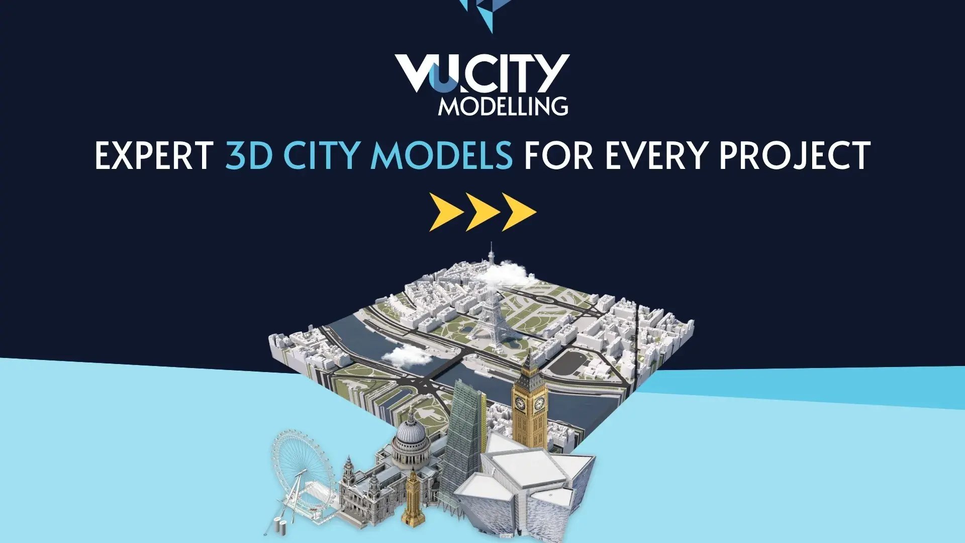
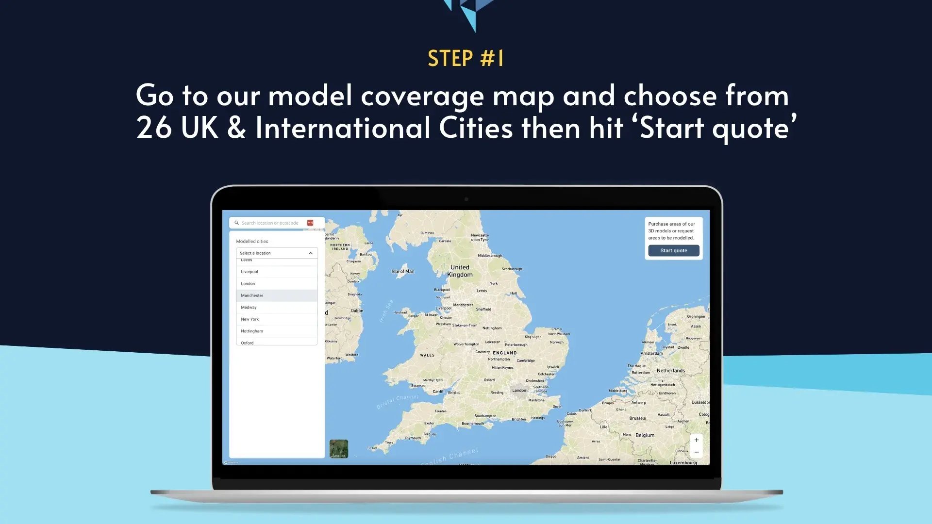
26 UK & International Cities
Over 3,000+ sq km accurate to 15cm | Tools to scope, create & collaborate on designs

Modelling FAQ
Find out more about VU.CITY's modelling service.
What are VU.CITY's 3D modelling services?
Our 3D modelling services deliver detailed and accurate digital representations of your chosen site or urban area. Using state-of-the-art software and data integration, we create high-quality city 3D models that help you visualise, plan, and communicate architectural and urban projects effectively.
What is a city 3D model, and why is it important?
A city 3D model is a comprehensive digital replica of an urban environment, showcasing everything from buildings and streets to landscapes and infrastructure. These models are crucial for urban planning, architectural visualisation, and project management as they provide a realistic overview of complex urban areas, enabling better decision-making and efficient project development.
How does VU.CITY create its 3D models?
Our process begins with gathering precise data, including satellite imagery, maps, architectural plans, and photographs of the site. We then utilise advanced 3D modelling software to construct a detailed digital model of the urban area. Each model undergoes rigorous quality checks to ensure it meets high accuracy standards, ensuring you receive a reliable tool for planning and visualisation.
Which projects can benefit from VU.CITY's city 3D modelling services?
Our services are ideal for a variety of projects such as urban development planning, infrastructure projects, architectural design, and real estate marketing. Whether you're redeveloping an existing urban area or designing a new district, a detailed 3D model can help stakeholders visualise changes, assess impacts, and plan improvements with precision.
How accurate are the 3D models produced by VU.CITY?
Accuracy is a top priority for us. We employ cutting-edge technologies and robust data sources to ensure that every city 3D model reflects the true scale and details of the area. Our meticulous approach means that planners, architects, and developers can rely on our models to make informed decisions based on realistic representations of the urban environment.
How can I get started with a 3D modelling project at VU.CITY?
Starting your project is simple. Reach out to our team through our form below or by phone to discuss your project’s specific needs. We will arrange an initial consultation to understand your requirements, collect relevant data, and outline the process for creating your custom 3D model. Our experts are ready to guide you from concept to completion.
.png?width=1920&height=1264&name=image%20(3).png)
